
CH-SZ-01
Freienbach | Hurden Rosshorn
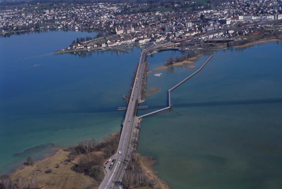
Short Description
This site was not a settlement but a transport route and was located in the shallow neck of the lake between Freienbach Hurden (SZ) and Rapperswil (SG). Piles and construction timbers of various bridges and footbridges were identified and dated using dendrochronology and radiocarbon analysis. The site yielded features from the Horgen period, from the Early (1620–1495 BC), Middle and Late Bronze Ages and from the Hallstatt period (647 BC), the Roman period (AD 165) and the Middle Ages (AD 741).

Neolithic - Middle Ages
3000 B.C. - 800 A.D.
Lake Zürichsee
404 m.a.s.l
Size of the site 4,32 ha / approx. 6 soccer pitches
Size of the bufferzone 20,10 ha / approx. 28 soccer pitches
Special Features & Highlights
Particular finds in the context of a transport route
